
Wake

up

to

360

views

of

Ely

Valley

and

eventually
depart

again

on

50,

southwest over Conners Pass
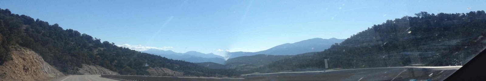
in

Schell

Creek

Range,

onward
across
Spring
Valley

and

up to Sacramento Pass in view of Wheeler Peak,

and

then
over

into

Utah

at

the

Border

Inn,

across

the
Sevier
Desert,

looking

increasingly

Utahn --

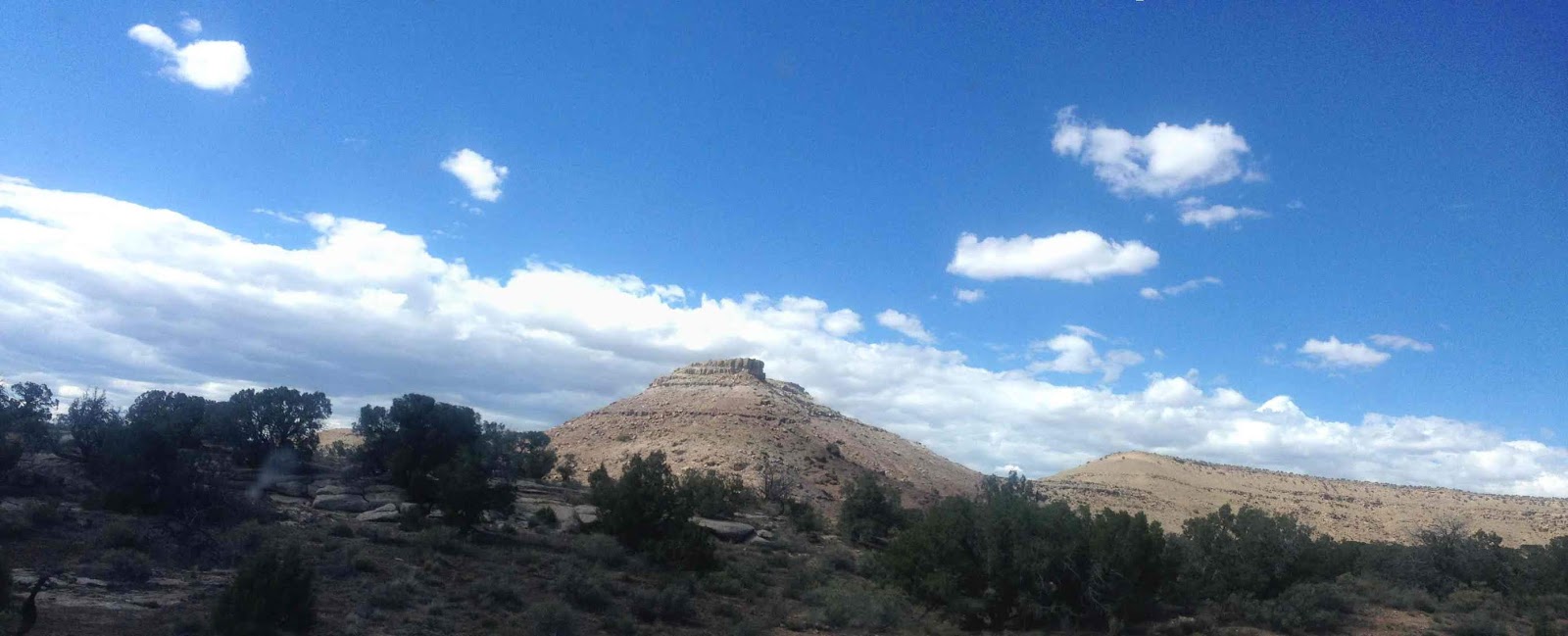
the

Confusion

and

House
Ranges,

Skull

Rock

Pass,

the

arid
Salt

Pan

transitioning

into

Delta

for

supplies

and

calls

to

Chris (Happy 31st Birthday!)

and

attempts

elsewhere.

Further,

towards

the

Pavant

Range,

north
on

15,

east

again


Scipio
Valley,

heading

down

cliffy

Denmark

Wash,
intent

on
Salina
and

the

junction

with

I-70.

Honing

in

on

the

latter,

we

knife


the

Wasatch

Plateau

via

the

Canyon,

pausing

for

a

respite

at

Ivy

Creek.

Back

in

the

boundless

again,

the

space

increasingly

surreal,

time
lost
and

found...

badlands,

cliffs,
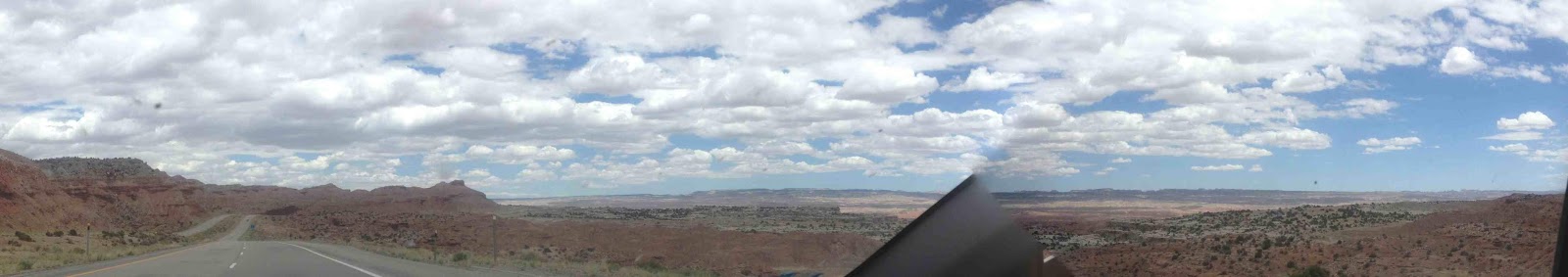
mesas,

buttes,

towers...
Salt
Wash,
Bitter
Seep,

Lone

Tree,

Devil's

Canyon

Junction,

domes

and

spires,

Black

Dragon,
culminating

in

the

massive

uplift

of

San

Rafael

Reef.
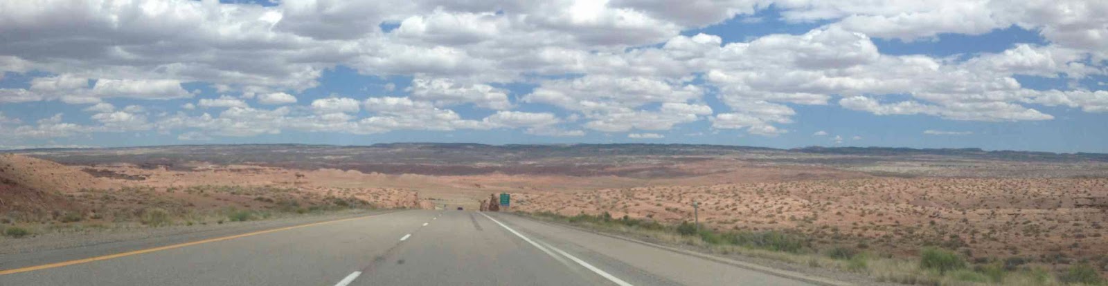
Out

into
the

open

country
approaching

Book
Cliffs

and
Green

River,

the

way

is

clear

for

the

final

pull

past

La Salle Mountains and

Castle Rocks Ridge to
Colorado.

Rabbit
Valley,

McDonald

Butte,

Fruita,

the

Monument
along

the

River,

another

supply

stop,

vaulting

Grand

Junction

over

to

Mt.

Garfield

and

the

entrance

to

De

Beque

Canyon.

Heading

up

the

declivity,

it's

Cameo,

Bailey

Cliff,

Asbury

Creek,

Plateau

Pillar,

Beavertail

Mountain,

Wagon

Track /

Kimbell

Ridges.

Out

in

front

of

the

Roan

Ciiffs --

Parachute

Valley

and

High

Mesa,

Ruilisen

Cliffs,

Rifle

Valley,

Taughenbaugh

Mesa,

Hogback

Ridge,

narrowing

into

Newcastle

and

Chacra

Canyon

in

sight

of the

old D&RG.

Red

cliffs

towards

Glenwood

Springs,

and

the

heroic

Canyon

beyond:

Dead

Horse

Cliffs

Reverse Curve Tunnel,

Bair Ranch Pinnacle,

Tie Gulch,

and

out

to

Dotsero.

The

transition

from

arid-

to-

montane

continues

to

evolve

slowly

along

the

Eagle

River

past

Avon,

and

eventually
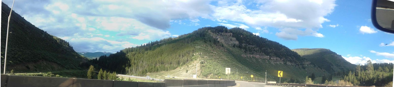
tributarying

up

Gore

Creek

to

Vail,

and

ultimately

mounting

the

Pass.

Downward

briefly,

searching

for

petrol,

finding it

in Frisco,

up again

almost over

the pass

in the

Eisenhower Tunnel

(highest point on I-70),
down,
down
Clear
Creek
Canyon,

darkness,

Denver, high 75 -- Ely, 77 -- missing the 64th day of summer back home, with the first century-mark of the season, at exactly 100...